Top 3 Guides for Cruising the Bahamas in 2024
February 13, 2024
2115

Whether it’s your first or your fifteenth time taking the treasured trip to the Bahamas in the fall and winter, there’s always new information to absorb and changing cartography to consider. With over 700 islands to explore and navigate through, it’s no wonder most Bahamas guides are updated annually in order to make sure cruisers and yachts can sail confidently through this gorgeous archipelago.
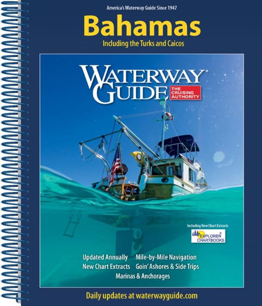
1. Waterway Guide Bahamas 2024 Waterway Guide Bahamas is without a doubt the most popular guide for cruising the Bahamas. Published annually in a durable spiral bound format, the Wateryway Guide specializes in mile-by-mile navigation for marinas and anchorages, aerial photography with marked routes, GPS waypoints, and snippets of official NOAA charts. This guide also includes the Turks & Caicos.
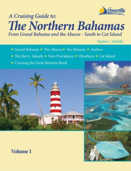 2. Seaworthy Cruising Guide to the Bahamas written by the legendary Stephen J. Pavlidis, Seaworthy has 3 volumes to give much needed depth and attention to the separate regions of the Northern Bahamas, Southern Bahamas, and Exumas. The value of these guides comes from the authors first hand experience of living and cruising the Bahamas for over 30 years. All charts were created by Stephen using GPS and depth sounding abord his 40’ sloop. Latest versions of this publication also include GPS waypoints, aerial photos, and more.
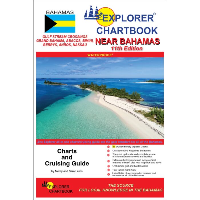 3. Did you know the latest editions of the top selling Explorer Chartbooks now double as cruising guides? Sporting full-color charts and closeups this chartbook brings you the most up-to-date cartography and cruising guide information for the islands. Every chart and each settlement's need-to-know info has been revised and updated reflecting Hurricane Dorian's damage so that you can confidently explore this beloved cruising ground.
Happy Cruising!
James Henjum
Content Writer
Recent Posts