NEW CMOR Bahamas 3D Relief Shading
November 02, 2023
469
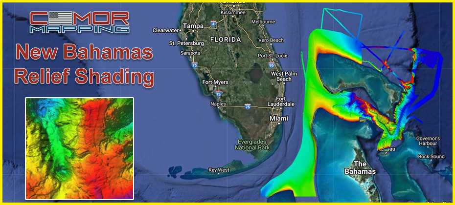
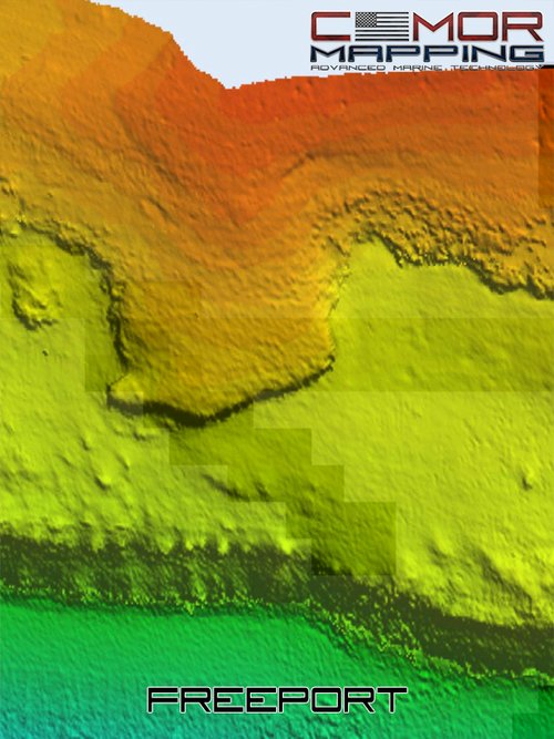
CMOR has updated their Bahamas and South Florida regions. The high-resolution bathymetry data is incredibly accurate and it's now available on Timezero and Furuno through MM3D.
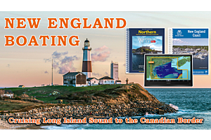
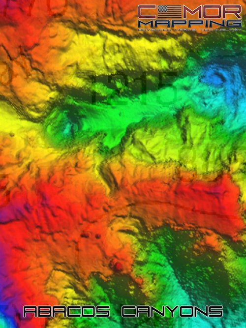
The updated CMOR Bahamas 3D Relief Shading Chart offers some of the best diving, fishing and deep drop spots in the islands with coverage from Bimini, Nassau, Great Stirrup Cay, Grand Bahama, Freeport, West End, Grand Cay, Abbaco, and more.
Want to know more?
CMOR Mapping’s game-changing, high-resolution bathymetric imagery brings the ocean floor into an entirely new level of focus for anglers and divers.
- CMOR Mapping data comes from methodical surveys of the entire bottom with high-resolution echo sounders — not point soundings and historical records.
- Wide regions include Bahamas, South Florida, East Gulf of Mexico, Florida Mid Grounds, West Gulf of Mexico, North Florida to South Carolina, Mid-Atlantic Ocean, and Tampa to Cape Sable.
- With resolution as high as 1 meter — meaning each pixel equals a square meter of bottom — we show you every ledge, coral head, and sunken culvert in unprecedented detail.
COMPLETE COVERAGE
UNPRECEDENTED DETAIL
Happy Cruising!
James Henjum
Bluewater Content Writer
Related Products
-
 Timezero Professional Download - UnlockSpecial Price $1,400.00 Regular Price $1,500.00


Recent Posts