Heading North, from Florida to the Canadian Border
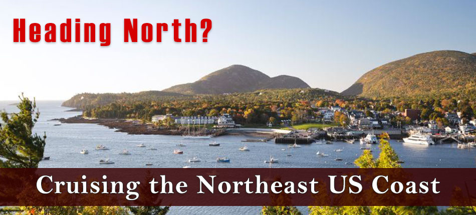
It's never too late to start planning for the much awaited voyage north up the Atlantic and ICW. We have listed our top recommended chartbooks and guides for cruisers heading north from Florida to the Canadian border. Maptech and Waterway Guide have released some new editions up along the east coast with the latest waypoints and anchorages.
As always, we recommend taking at least one guide and chartkit along with a flag, logbook, and an up to date digital chart for your plotter.

Want to purchase or update your digital charts?
Email [email protected] with your plotter's make and model so that our navigation experts can dial in the perfect regions for your adventure north.
Chartbooks:
Maptech Chartkit 7 Florida East Coast
Maptech Chartkit 6 Norfolk to Florida and ICW
Maptech Chartkit 4 Chesapeake and Delaware Bay
Maptech Chartkit 3 New York to Nantucket
Maptech Chartkit 2 Rhode Island to Canadian Border
Cruising Guides:

All Waterway Guides are Now Available in Digital Format
NEW Waterway Guide Northern 2023NEW Waterway Guide Chesapeake Bay 2023
NEW Waterway Guide Atlantic ICW 2023
NEW Waterway Guide Southern 2023
Maptech Embassy Guide Florida to Mobile Bay 2023
Maptech Embassy Guide Chesapeake to Florida
Maptech Embassy Guide New England Coast
Maptech Embassy Guide Long Island Sound to Cape May 2022
Travel Guides:
Lonely Planet Eastern USA
Fodors Maine, Vermont, and New Hampshire
Flags:
US Ensign Sizes 2x3,3x5,4x6 Also Available

Florida 12x18
Georgia 12x18
South Carolina 12x18
North Caroline 12x18
Virginia 12x18
New York 12x18
Maine 12x18
Have more questions? Call 954-763-6533 or email [email protected].
Happy Cruising!
James Henjum
Content Writer


