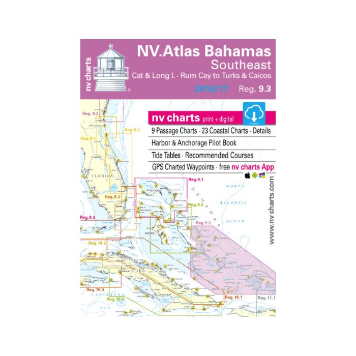
NV Charts 9.3 Bahamas Southeast 2022/23
SKU
NV93
Special Price
$59.95
Regular Price
$94.93
NV Charts • Reg.9.3: Bahamas Southeast • Cat & Long Island - Rum Cay to Turk & Caicos
Format: Kombipack Paper / Digital download and App
- 8 Overview charts
- 21 Coastal charts & Details
- Includes Harbor & Anchorage Pilot Book
- GPS Charted Waypoints – Approaches
- Tide Tables - Recommended Course
- Pilot book
The NV Charts are characterized by fine contours and easy to distinguish color graduations of the depth lines – turquoise for coral reefs, red for the 2-meter-line and blue for the 5-m-areas.
Presented in a handy, user friendly size, (23½’’ x 16 ½’’, 11.7 x 16.5 folded) a thick plastic envelope protects the charts, enabling them to be easily stored.
The importance of good graphical representation of the topography when sailing in the Caribbean is essential.
Well marked rivers, towns and street plans all help to give a clear overall view of the shoreside facilities of the islands. Red numbered waypoints with coordinates based on WGS 84 enable yachtsmen to navigate using their GPS instruments. Heights and depths are given in the internationally accepted format of meters. Large scale approaches and land contour markings simplify the entrance into anchorages.
Overview charts
- C0 Caribbean Sea 1:6,500.000
- C1 Bahamas South 1: 900.000
- C2 Exuma Sound · South 1: 340.000
- C3 Ragged I. · Long I.to South Rock 1: 340.000
- C4 Rum Cay to Acklins Island 1: 340.000
- C5 Acklins Island to Turks & Caicos 1: 340.000
- C6 Great Inagua to Turks & Caicos 1: 340.000
- C7 Crooked Island to Providenciales 1: 340.000
- C8 Turks & Caicos Islands 1: 340.000
Coastal Charts
- C9 Cat Island · North 1: 90,000
- C10 Cat Island · South 1: 90,000
- C11 Long Island · North 1: 90,000
- C12 Long Island · Middle 1: 90,000
- C13 Long Island · South 1: 90,000
- C14 Ragged Islands · North 1: 90,000
- C15 Ragged Islands · Middle 1: 90,000
- C16 Ragged Islands · South 1: 90,000
- C17 Rum Cay 1: 90,000
- C18 San Salvador 1: 90,000
- C19 Crooked Island · Northwest 1: 90,000
- C20 Acklins Island · North 1: 90,000
- C21 Acklins Island · South 1: 90,000
- C22 Conception Island 1: 40,000
- C23A Hogsty Reef 1: 40,000
- C23B Abrahams Bay 1: 40,000
- C23C Mira Por Vos Cays 1: 40,000
- C24 Samana Cay to Acklins & Plana Cays 1: 180,000
- C25 Plana Cays to Mayaguana I. 1: 180,000
- C26 Great Inagua Island · West 1: 90.000
- C27 Caicos Islands · West 1: 90,000
- C28 Caicos Islands · Southeast 1: 90,000
- C29 Turks Islands 1: 90,000
Legend · General Notes p.31
Tide Tables p.32
Harbor & Anchorage Pilot Book attached
Dimensions: 17 in × 12 in × 0.75 in


Featured Products

Explorer Chartbook Near Bahamas 11th Ed.
Special Price
$89.95
Regular Price
$99.92

Italian Waters Pilot Revised 11th Edition
Special Price
$89.95
Regular Price
$94.93

Waterway Guide Northern 2024
Special Price
$52.99
Regular Price
$54.92