NV Charts 10.4 Cuba Southeast 2015/16
SKU
CYC10415
$86.95
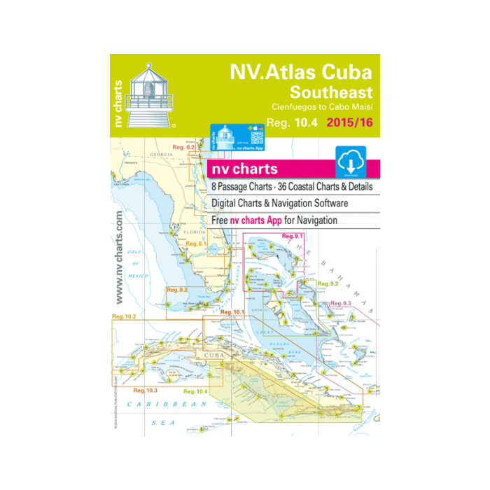
NV Atlas Cuba Southeast: Cienfuegos to Cabo Maisi (Reg 10.4, 2015/16) is characterized by fine contours and easy to distinguish colour graduations of the depth lines. Constructed in a user friendly size with a thick plastic envelope protecting the charts, enabling them to be easily stored. The importance of good graphical representation of the topography when sailing in the Caribbean is paramount. Well marked rivers, towns and street plans all help to give a clear overall view of the local shore-side facilities. Red numbered waypoints with coordinates based on WGS 84 enable yachtsmen to navigate using their GPS instruments. Also, large scale approaches and land contour markings simplify the entrance into anchorages. Featuring:
- Harbour & Anchorage Charts;
- 8 Passage Charts - 36 Coastal Charts & Details;
- GPS Charted Waypoints and more.


Featured Products

Explorer Chartbook Near Bahamas 11th Ed.
Special Price
$89.95
Regular Price
$99.92

Italian Waters Pilot Revised 11th Edition
Special Price
$89.95
Regular Price
$94.93

Waterway Guide Northern 2024
Special Price
$52.99
Regular Price
$54.92