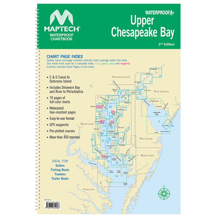
Maptech Waterproof Chartbook Upper Chesapeake Bay 2nd Edition
SKU
WPB0430-02
Special Price
$74.95
Regular Price
$87.92
Covers C&D Canal to Solomons Island and includes Delaware Bay and River to Phildelphia. Offers full-color charts on waterproof, tear-resistant pages. Easy-to-use format includes GPS waypoints, pre-plotted courses and more than 450 marinas. 70 chart pages.
Format: Springbound Lay Flat
Publisher: Maptech


Featured Products

Explorer Chartbook Near Bahamas 11th Ed.
Special Price
$89.95
Regular Price
$99.92

Italian Waters Pilot Revised 11th Edition
Special Price
$89.95
Regular Price
$94.93

Waterway Guide Northern 2024
Special Price
$52.99
Regular Price
$54.92