Map DMA World 1145 Framed
SKU
WM1145-FRAMED
$149.95
DMA World Map 1145 Framed
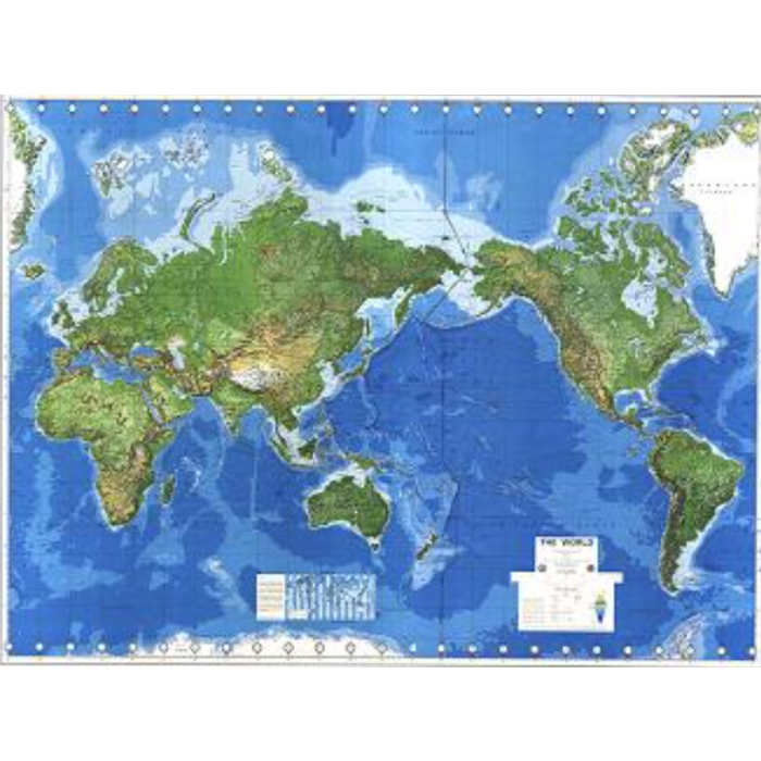
This map consists of international boundaries, country names, capitals and selected cities and towns. Multicolor tints distinguish topographic, hypsometric, hydrographic and bathymetric features. Shaded relief accentuates mountain ranges. Shipping lanes are also known. Clock time is displayed at 15-degree intervals of longitude. Marginal data on the maps include a sheet index, a legend for populated places, ice limits, boundary symbols, and tint-band guides. The map is contained in a brown mahogany frame about 1 inch thick.
Survey Date: 1998
Print Date: 1998
Height of map In Inches: 42"
Length of map In Inches: 54"
Frame: About 1" thick
Language: English
Scale: 1:30,000,000
Media: Paper


Featured Products

Explorer Chartbook Near Bahamas 11th Ed.
Special Price
$89.95
Regular Price
$99.92

Italian Waters Pilot Revised 11th Edition
Special Price
$89.95
Regular Price
$94.93

Waterway Guide Northern 2024
Special Price
$52.99
Regular Price
$54.92