Imray Charts E2 Canary Islands Folded
SKU
IMR-E2
Special Price
$34.75
Regular Price
$42.94
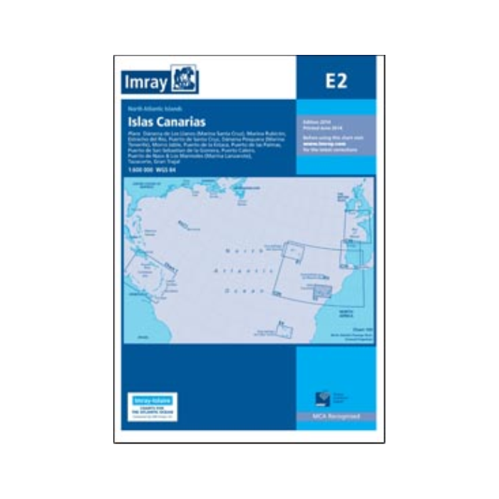
The IMR E2 - Canary Islands (Folded 2014 Edition) displays harbour developments shown at Dársena Pesquera (Marina Tenerife) and Puerto de las Palmas; the Morre Jable sketch plan has been replaced with a fully WGS84-compatible plan; and three new plans have been introduced. On the front of the chart, a plan of Puerto de Naos & Los Marmoles has been introduced to show the new Marina Lanzarote. On the chart reverse are plans of Tazacorte (I. de la Palma) and Gran Trajal (Fuerteventura). Including plans on: • Puerto de Santa Cruz (1:12 500); • Puerto de la Estaca (1:7500); • Puerto de San Sebastian de la Gomera (1:10 000); • Darsena de Los Llanos (Marina Santa Cruz) (1:17 500); • Darsena Pesquera (Marina Tenerife) (1:17 500); • Puerto de las Palmas (1:30 000); • Morro Jable (1:12 500); • Marina Rubicn (1:25 000); • Puerto Calero (1:15 000); • Estrecho del Ro (1:50 000); • Puerto de Naos & Los Marmoles (Marina Lanzarote) (1:12 500); • Tazacorte (1:10 000); • Gran Trajal (1:10 000). Author: Imray Publisher: Imray Edition Date: 2014 Number of Pages: N/A


Featured Products

Explorer Chartbook Near Bahamas 11th Ed.
Special Price
$89.95
Regular Price
$99.92

Italian Waters Pilot Revised 11th Edition
Special Price
$89.95
Regular Price
$94.93

Waterway Guide Northern 2024
Special Price
$52.99
Regular Price
$54.92