Imray Charts C53 Donegal Bay Ire To Rathlin Isl N Ire
SKU
IMR-C53
$42.94
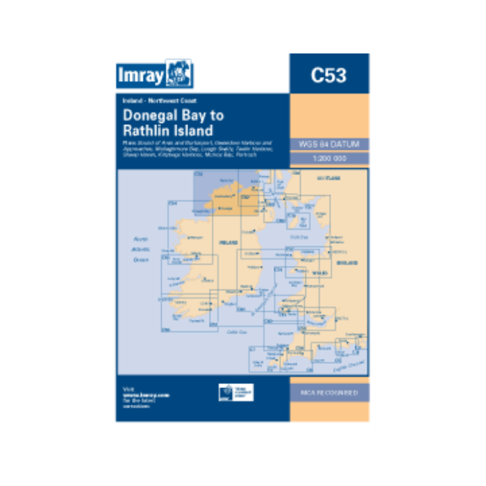
Scale: 1:200 000 WGS 84 Plans included: • Portrush; • Lough Swilly; • Mulroy Bay; • Sheep Haven; • Gweedore Harbour & Approaches; • Sound of Aran & Burtonport; • Teelin Harbour; • Killybegs Harbour; • Mullaghmore Bay. 2010 EDITION - Updated throughout and latest survey data applied. Depths updated in Mulroy Bay; New coastline and depths shown on Killybegs Hbr plan; Teelin Hbr and Killybegs Hbr plans adjusted to improve WGS 84 positional accuracy. Author: Imray Publisher: Imray Edition Date: 2010 Number of Pages: Folded


Featured Products

Explorer Chartbook Near Bahamas 11th Ed.
Special Price
$89.95
Regular Price
$99.92

Italian Waters Pilot Revised 11th Edition
Special Price
$89.95
Regular Price
$94.93

Waterway Guide Northern 2024
Special Price
$52.99
Regular Price
$54.92