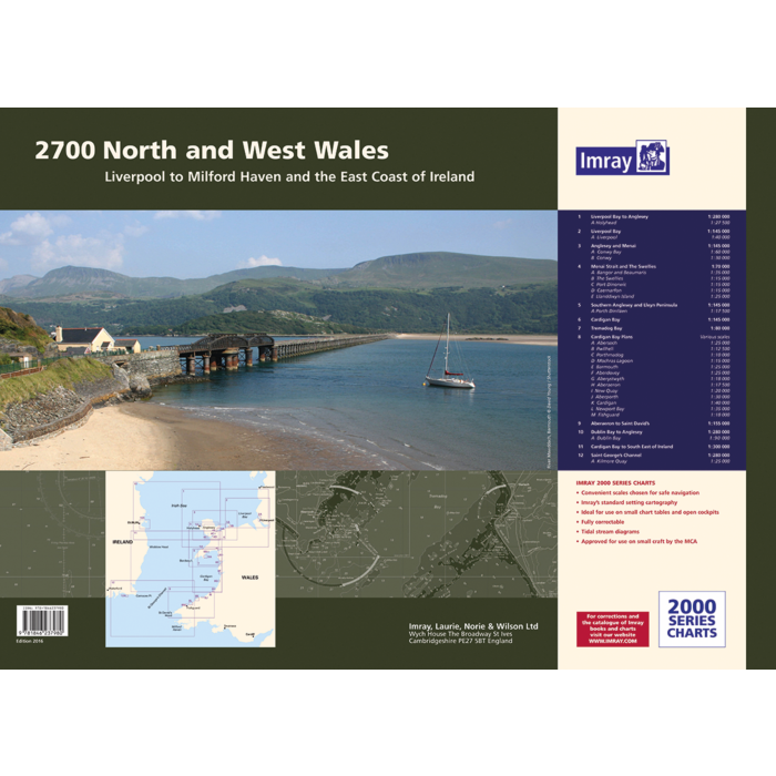
Imray Chart Pack 2700 North and West Wales
SKU
IMR2700
$89.94
Imray Chart Pack 2700 North and West Wales
In new A2 atlas format suitable for use on small chart tables and in the cockpit. Printed on high quality cartridge paper, this 2016 edition supplied in a durable plastic wallet.
The atlas includes:
2700.1 Liverpool Bay to Anglesey 1: 280 000 WGS 84
Plan Holyhead (1:27 500)
2700.2 Liverpool Bay 1: 145 000 WGS 84
Plan Liverpool (1:40 000)
2700.3 Anglesey and Menai 1: 145 000 WGS 84
Plans Conwy Bay (1:60 000), Conwy (1:30 000)
2700.4 Menai Strait and The Swellies 1: 70 000 WGS 84
Plans Bangor and Beaumaris (1:35 000), The Swellies (1:15 000), Port Dinorwic (1:15 000), Caernarfon (1:15 000), Llanddwyn Island (1:25 000)
2700.5 Southern Anglesey and Lleyn Peninsula 1: 145 000 WGS 84
Plan Porth Dinlläen (1:17 500)
2700.6 Cardigan Bay 1: 145 000 WGS 84
2700.7 Tremadog Bay 1: 80 000 WGS 84
2700.8 Cardigan Bay Plans 1: various WGS 84
Plans Abersoch (1:25 000), Pwllheli (1:12 500), Porthmadog (1:10 000), Mochras Lagoon (1:15 000), Barmouth (1:25 000), Aberdovey (1:25 000), Aberystwyth (1:18 000), Aberaeron (1:17 500), New Quay (1:20 000), Aberporth (1:30 000), Cardigan (1:40 000), Newport Bay (1:35 000), Fishguard (1:18 000)
2700.9 Aberaeron to St David’s 1: 155 000 WGS 84
2700.10 Dublin Bay to Anglesey 1: 280 000 WGS 84
Plan Dublin Bay (1:90 000)
2700.11 Cardigan Bay to South East of Ireland
1: 300 000 WGS 84
2700.12 St George’s Channel
1: 280 000 WGS 84
Plan Kilmore Quay (1:25 000)
This May 2016 edition has been updated throughout, with the latest known depth surveys and up-to-date wind farm information.
2700.4 is now a landscape chart and shows the passage across to the coast of Ireland. Two new sheets, 2700.11 and 2700.12, are also included.


Featured Products

Explorer Chartbook Near Bahamas 11th Ed.
Special Price
$89.95
Regular Price
$99.92

Italian Waters Pilot Revised 11th Edition
Special Price
$89.95
Regular Price
$94.93

Waterway Guide Northern 2024
Special Price
$52.99
Regular Price
$54.92