CMOR MM3D 1 UPDATE South Florida V4 Bathy Charts
SKU
CMOR 1 MM3D Update
$350.00
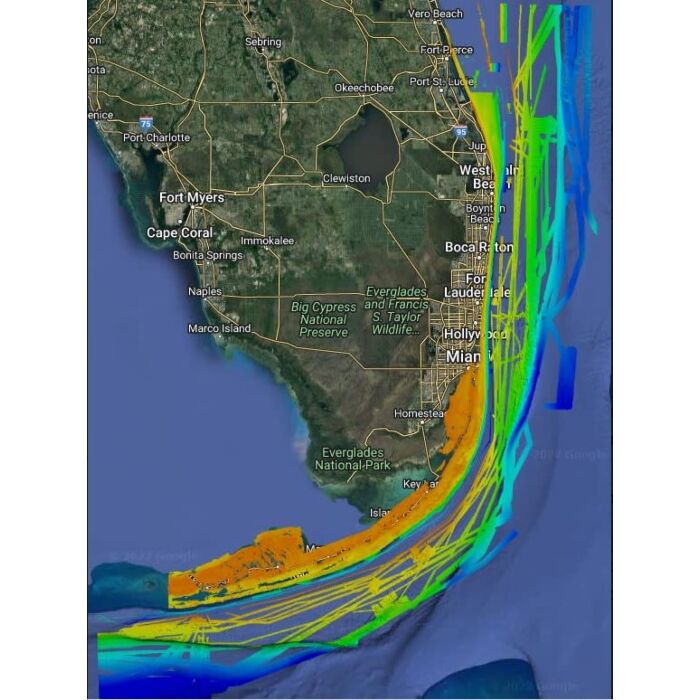
CMOR 1 Mapping Data, South Florida for Timezero WARBATUS01V1.3 Altimetry TIMEZERO and Furuno NavNet(3D & TZT) utilize MapMedia .mm3d altimetry to realistically represent the shoreline. The advantages are numerous such as the instantaneous identification of port entries or the identification of specific shoreline features. The use of altimetry also allows you to navigate in a realistic perspective view in relation to the horizon. Satellite Photographs TIMEZERO and Furuno NavNet(3D & TZT) utilizes satellite photographs in a new and exciting way, called PhotoFusion. This new technology allows fuses the Satellite Photographs with the Raster or Vector charts to provide, only the data you need for safe navigation, in an intuitive, realistic manner. Included with each .mm3d data pack is standard resolution satellite photographs. High definition satellite photographs are only available for certain areas. MapMedia continues to work together with data providers to expand and update the satellite photograph catalog. Bathymetry MapMedia .mm3d bathymetry is based on the graphic interpretation of chart contour lines. This 3D representation is very useful when entering a port or an anchorage, providing another navigation tool to keep you aware of submerged dangers. The S-52 Vector Chart Standard The S52 standard is published by the International Hydrographic Office (IHO). S-52 is an internationally adopted standard that regulates electronic vector chart display and iconography, to make it easy to view and understand. MapMedia .mm3d vector charts comply with this international standard. Compatible products for this item are: TimeZero Pro Furuno NavNet TZT2 & TZT3 Reference : WARBATUS01V1.3 Chart Size : Wide Latest Publish Date : July 29, 2019


Featured Products

Explorer Chartbook Near Bahamas 11th Ed.
Special Price
$89.95
Regular Price
$99.92

Italian Waters Pilot Revised 11th Edition
Special Price
$89.95
Regular Price
$94.93

Waterway Guide Northern 2024
Special Price
$52.99
Regular Price
$54.92