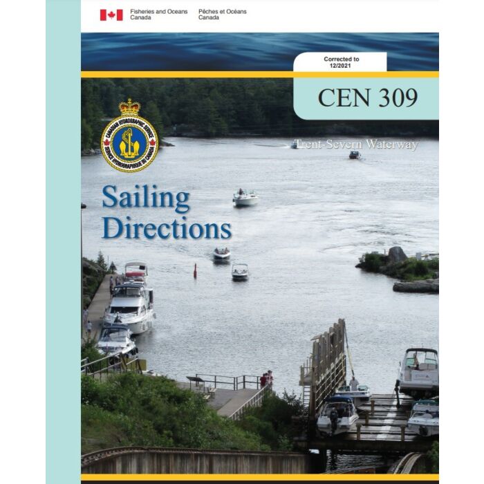
CHS SDIR CEN 309E Trent Severn Waterway 2021/12
CHS SDIR 309 Trent Severn Waterway 2021
The Sailing Directions booklets are an indispensable companion to nautical charts. They are a great tool for planning and assisting in navigation because they provide information that cannot be shown on a chart.
Author: CHS
Date: 2021
Format: Comb Bound Booklet
Number of Pages: 123
CHAPTER 1 General Information
Trent-Severn Waterway _______________________________________ 1-4
Historical Background ________________________________________ 1-5
Navigation Notes ____________________________________________ 1-6
Water Levels _______________________________________________ 1-9
Currents___________________________________________________ 1-9
Meteorological Information ___________________________________ 1-10
Publications _______________________________________________ 1-11
Regulations _______________________________________________ 1-11
Aids to Navigation __________________________________________ 1-13
Cables ___________________________________________________ 1-14
Use of Radio _______________________________________________ 1-14
Search and Rescue __________________________________________ 1-16
CHAPTER 2 Trenton to Rice Lake
Presqu’ile Bay ______________________________________________ 2-1
Murray Canal to Trenton ______________________________________ 2-4
Trenton________________________________________________ 2-5
Trenton to Glen Ross _________________________________________ 2-6
Glen Ross to Haig’s Reach lock_________________________________ 2-11
Haig’s Reach to Campbellford _________________________________ 2-14
Campbellford __________________________________________ 2-14
Campbellford to Healey Falls __________________________________ 2-16
Healey Falls to Rice Lake _____________________________________ 2-17
CHAPTER 3 Rice Lake
Rice Lake — North Shore______________________________________ 3-2
Cameron Point to Indian River _______________________________ 3-2
Rice Lake — East Shore _______________________________________ 3-3
Webb Bay to Harwood _____________________________________ 3-3
Rice Lake — NW Shore _______________________________________ 3-5
Roach Point to Hatrick Point ________________________________ 3-5
Rice Lake — SE Shore ________________________________________ 3-5
Harwood to Bewdley ______________________________________ 3-5
Bewdley _______________________________________________ 3-6
Rice Lake — West Shore ______________________________________ 3-7
Bewdley to Otonabee River _________________________________ 3-7
CHAPTER 4 Rice Lake to Buckhorn
Otonabee River and Trent Canal ________________________________ 4-1
Rice Lake to Peterborough __________________________________ 4-1
Peterborough____________________________________________ 4-3
Peterborough lift lock _____________________________________ 4-6
Peterborough to Lakefield _____________________________________ 4-6
Lakefield to Burleigh Falls _____________________________________ 4-9
Stony Lake ____________________________________________ 4-11
Burleigh Falls __________________________________________ 4-13
Burleigh Falls to Buckhorn____________________________________ 4-14
Buckhorn _____________________________________________ 4-15
IV
CHAPTER 5 Buckhorn to Lake Simcoe
Buckhorn to Gannon Narrows __________________________________ 5-1
Chemong Lake __________________________________________ 5-3
Bridgenorth_____________________________________________ 5-3
Gannon Narrows to Bobcaygeon_________________________________ 5-4
Bobcaygeon ____________________________________________ 5-5
Pigeon Lake — South part __________________________________ 5-6
Pigeon Lake — North part __________________________________ 5-7
Bobcaygeon to Sturgeon Point __________________________________ 5-8
Scugog River ___________________________________________ 5-9
Lindsay _______________________________________________ 5-9
Lake Scugog ___________________________________________ 5-11
Sturgeon Point to Fenelon Falls ________________________________ 5-12
Fenelon Falls___________________________________________ 5-13
Fenelon Falls to Balsam Lake __________________________________ 5-13
Rosedale______________________________________________ 5-14
Balsam Lake ___________________________________________ 5-15
Balsam Lake to Lake Simcoe __________________________________ 5-15
CHAPTER 6 Lake Simcoe
NE shore of Lake Simcoe ______________________________________ 6-2
East and SE shores of Lake Simcoe_______________________________ 6-3
Cook’s Bay _____________________________________________ 6-6
Holland River ___________________________________________ 6-8
SW shore of Lake Simcoe ______________________________________ 6-9
Kempenfelt Bay _________________________________________ 6-9
Barrie________________________________________________ 6-10
NW shore of Lake Simcoe_____________________________________ 6-10
CHAPTER 7 Lake Simcoe to Port Severn
Lake Simcoe to Couchiching lock ________________________________ 7-1
Orillia_________________________________________________ 7-2
The Narrows to Couchiching lock________________________________ 7-3
Couchiching lock to Big Chute __________________________________ 7-6
Big Chute to Port Severn _____________________________________ 7-10
Port Severn ____________________________________________ 7-11


