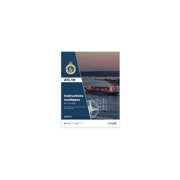
CHS SDIR ATL 111 St Lawrence River 2023/11 (French)
CHS SDIR ATL 111 St Lawrence River 2023 (French)
The Canadian Sailing Directions - ATL 111 (3rd Edition) covers St. Lawrence River, Ille Verte to Quebec and Fjord du Saguenay. Sailing Directions provides important information regarding navigation, which may not be found on charts or within other marine publications. They are intended to be read in conjunction with the charts quoted in the text. This edition is now available as Print-on-Demand (POD). POD booklets are updated through Notices to Mariners to the date of printing.
Author: CHS
Date: 2021
Format: Comb Bound Booklet
Number of Pages: 85
CHAPTER 1 Cap de Bon-Désir to Cap Brûlé through Chenal du Nord
General ___________________________________________________ 1-1
Limits • Coast • Main shipping channel • Risks of collision •
Calling-in-points • Current and tidal streams • Saguenay—St. Lawrence
Marine Park • Anchorage • Ice • Search and Rescue
Cap de Bon-Désir to Cap de la Tête au Chien _______________________ 1-3
Cap de la Tête au Chien to Cap aux Oies __________________________ 1-7
Port of Pointe-au-Pic _________________________________________ 1-9
Cap aux Oies to Sault-au-Cochon _______________________________ 1-10
Île aux Coudres _________________________________________ 1-11
Sault-au-Cochon to Cap Brûlé _________________________________ 1-13
CHAPTER 2 Cap Brûlé to Québec
General ___________________________________________________ 2-1
Limits • Coast • Main shipping channel • Risk of collision •
Calling-in-points • tidal streams • Anchorage • Ice
Cap Brûlé to Sainte-Pétronille via the main shipping channel ___________ 2-3
Chenal de l’Île d’Orléans ______________________________________ 2-6
Port of Québec ______________________________________________ 2-7
Search and Rescue • Main shipping channel in Port of Québec •
Bassin Louise • Petroleum Terminal • Port Services and Facilities
CHAPTER 3 Île Verte to Pointe de Saint-Vallier through Chenal du Sud
General ___________________________________________________ 3-1
Limits • Coast • Secondary shipping route • Calling-in-points •
Tidal streams • Anchorage • Ice • Search and Rescue
Île Verte to Pointe aux Orignaux_________________________________ 3-3
Port of Gros-Cacouna_________________________________________ 3-5
Pointe aux Orignaux to Pointe de Saint-Vallier ______________________ 3-9
CHAPTER 4 Fjord du Saguenay — Tadoussac to Chicoutimi
General ___________________________________________________ 4-1
Limits • Coast • Main Shipping Channel • Risk of Collision •
Calling-in-points • Tidal Streams • Saguenay—St. Lawrence
Marine Park • Anchorage • Ice • Search and Rescue • Magnetic
Disturbances
Tadoussac to Cap à l’Est_______________________________________ 4-3
Baie des Ha! Ha!_____________________________________________ 4-7
Cap à l’Est to Chicoutimi _____________________________________ 4-10
Port Saguenay __________________________________________ 4-10
Grande-Anse Marine Terminal • Albert-Maltais Terminal


