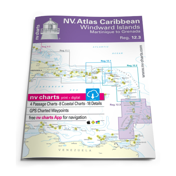
NV Charts 12.3 Windward Islands 2022/23
SKU
NV12322
Special Price
$82.93
Regular Price
$94.93
NV Chart Atlas 9.2, Bahamas Central, Andros to Exumas & Eleuthera Islands
- 8 overview charts - 20 coastal - 3 detailed charts, including "Harbour & Anchorage Info" and tide tables.
- Format: 30 x 42cm, paperback
- Language: English
- The set includes a download code for all maps of the area in NV. Digital format for use with the navigation program "Chart Navigator light" as well as with the NV charts app smartphone/tablet
NV Atlas Region 9.2 Central Bahamas is the ideal nautical chart set for sailing along the beautiful islands of the central Bahamas, including Eleuthera Island, the east coast of Andros and the Exuma Cays. It is also the perfect chart set for transiting from the Bahamas south- wards to the Caribbean or the other way round. It seamlessly connects with the NV Atlas Bahamas Region 9.1 in the north and the NV Atlas Region 9.3 Bahamas Southeast in the south. Most of the harbors and anchorages are included in detailed charts, as well as approaches. This clearly structured and easy-to-read chart set contains all the necessary up-to-date information to navigate the covered area. Anyone on the water will find a lot of important additional information, such as harbor information, not only in the paper chart, but also in the NV Charts App. Information can be supplemented with your own comments and photos. The app also provides access to tidal current and wind data, which can be displayed in real time on the electronic chart. For all water sports enthusiasts who feel at home in this region or want to get to know it, these up-to-date nautical chart set offers the perfect combination of paper and digital version for your own boating experience.


Featured Products

Explorer Chartbook Near Bahamas 11th Ed.
Special Price
$89.95
Regular Price
$99.92

Italian Waters Pilot Revised 11th Edition
Special Price
$89.95
Regular Price
$94.93

Waterway Guide Northern 2024
Special Price
$52.99
Regular Price
$54.92