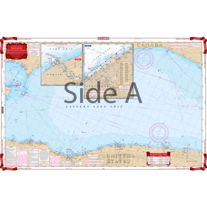
ISS 158 Eastern Lake Erie Waterproof Chart
SKU
ISS158
$29.95
This nautical map has coverage for Eastern Lake Erie with detailed insets for Cleveland and Lorain on one side. The reverse side details the East Basin with insets of the Welland Canal and the Niagara River.
Size is 25″ x 38″


Featured Products

Explorer Chartbook Near Bahamas 11th Ed.
Special Price
$89.95
Regular Price
$99.92

Italian Waters Pilot Revised 11th Edition
Special Price
$89.95
Regular Price
$94.93

Waterway Guide Northern 2024
Special Price
$52.99
Regular Price
$54.92