Lake Champlain Atlas Navigation Charts 2013
SKU
9780965764032
Special Price
$35.95
Regular Price
$39.92
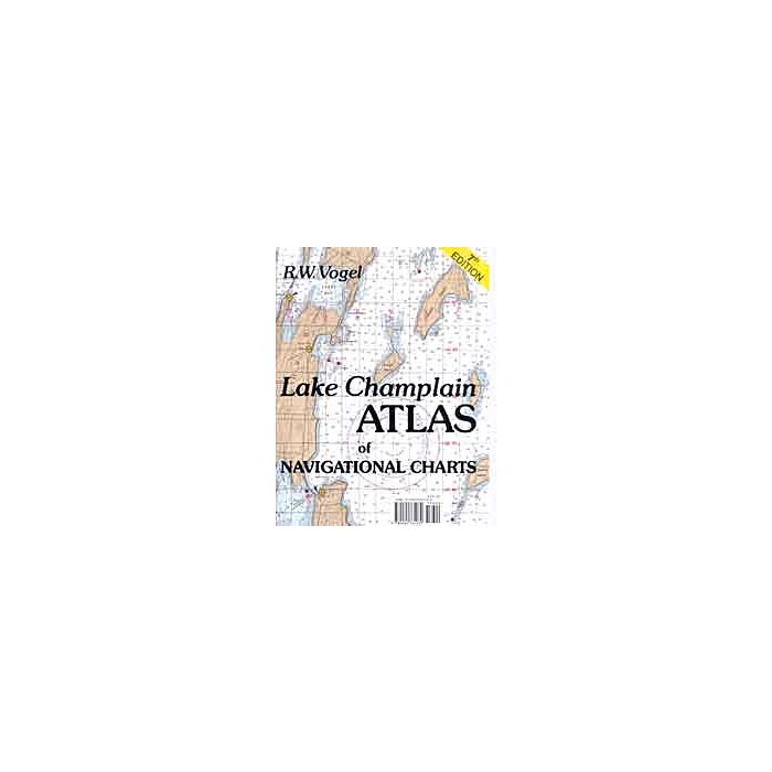
Lake Champlain Atlas of Navigation Charts (2007 Edition) includes the entire lake bordering Vermont and New York from Whitehall, NY to the Canadian border at Rouse's Point, NY, plus five miles of the upper Richelieu River. The lake's 490 square miles are well-marked with navigational aids and with its shorelines in view -- line of sight navigation is commonly used -- thus this atlas of sections of the NOAA charts is a convenient guide to Lake Champlain. Marinas are marked on the charts and a table gives phone numbers, services, and depths.
Format: Paperback
Author: R.W. Vogel


Featured Products

Explorer Chartbook Near Bahamas 11th Ed.
Special Price
$89.95
Regular Price
$99.92

Italian Waters Pilot Revised 11th Edition
Special Price
$89.95
Regular Price
$94.93

Waterway Guide Northern 2024
Special Price
$52.99
Regular Price
$54.92