Waveyline BAH019 Bahama Islands Routeing 08 ED
SKU
BAH01908
$27.92
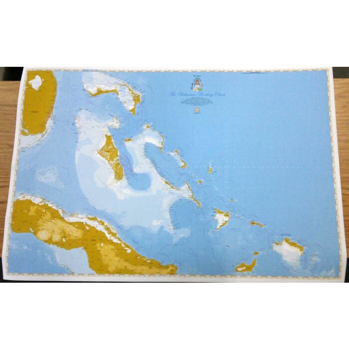
The Bahamas Chart BAH019 2018 3rd Edition This Wavey Line chart covers the entire Bahamas and Turks and Caicos Islands (from Lake Worth to the Mouchoir Bank). It is excellent for route planning and weather tracking and a good backup chart for vessels on ocean passage, passing offshore from the Bahamas. Chart Scale: 1:1,250,000 24" x 36"


Featured Products

Explorer Chartbook Near Bahamas 11th Ed.
Special Price
$89.95
Regular Price
$99.92

Italian Waters Pilot Revised 11th Edition
Special Price
$89.95
Regular Price
$94.93

Waterway Guide Northern 2024
Special Price
$52.99
Regular Price
$54.92