Franko British Virgin Islands Adventure & Dive Guide Folded Map
SKU
FM31101
$10.92
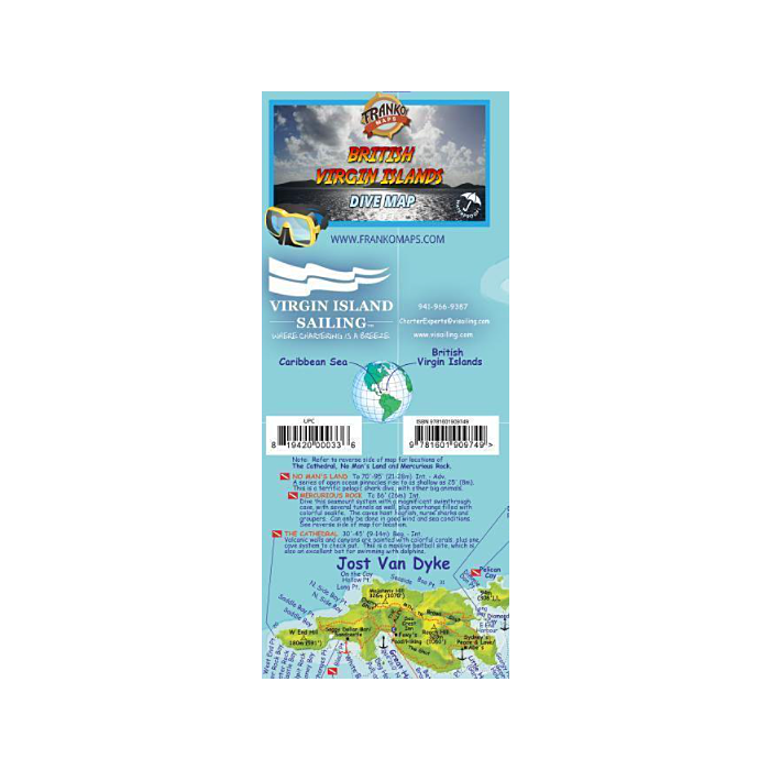
Franko’s British Virgin Islands BVI Dive Guide Folded Map
This is an outstanding, accurate chart of the islands, and it is a good map of the roads and features of each island as well. Printed on waterproof, rip-proof plastic this is a durable map for any condition. Every notable scuba and snorkeling site is shown, as are main boating routes.
Side 1 - provides one of the finest dive maps to date in the Caribbean. This includes all-night anchorage, plus day-only anchorage. Franko’s Map of The British Virgin Islands wouldn’t be complete with out a selection of 100+ of BVI’s most see, beloved reef creatures.
Side 2 - shows the entire string of islands comprising the BVI. It is on this side that one finds the more remote and less visited island of Anegada, with it’s long, long horseshoe reef, which has more wreck than we probably know about. The southwest side of the map shows the island of St. John in the United States Virgin Islands. This side of the map contains descriptions of each of the main islands themselves, with additional information about airlines, ferries, marine park rules, and the Dive Shops, Charter Boats & Live Aboards and Marine Photography studios. Also, on this side of the map is a series of local photographs provided by the photography studios at the BVI. The main boating routes in and around all of the British Virgin Islands appear as dotted lines on this map.
18.5" x 26", folded to a handy 4" x 9", printed on waterproof material.


Featured Products
Sea of Cortez - A Cruisers Guidebook 4th Edition
Special Price
$54.95
Regular Price
$63.93

Greek Waters Pilot 14th Edition
$104.94

Explorer Chartbook Near Bahamas 11th Ed.
Special Price
$89.95
Regular Price
$99.92