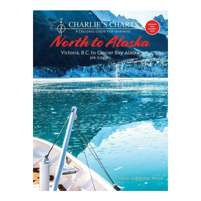
Charlies Charts North To Alaska 6th Edition
SKU
9781951116392
Special Price
$49.95
Regular Price
$69.93
Charlie's Charts North To Alaska 6th Edition
This edition was prepared using the original maps and photos with many new photos added. Some valuable information has also been updated to accomodate the mariner undertaking this voyage. While this edition has been revised for an updated look, we have made every effort to maintain the integrity of the original book. This cruising guide provides navigation information for a boater departing from Victoria and traveling along the British Columbia and Southeast Alaskan coasts following the protected waters of the Inside Passage to Glacier Bay, Alaska.
It is divided into eight sections with full-color photographs and a sketched chart indicating marinas or anchorages where a cruising boat can find moorage as it travels along the coast. Each location has a detailed sketch and description of a safe approach, recommended anchorages and shore facilities. Crucial portions such as the transit of passes and the passage of Cape Caution are given particular attention with guidelines for timing and recommended routes. A customized weather map provides excellent information. For cruisers unable to make the entire trip to Alaska shorter trips to spectacular areas on the coast are described such as to Princess Louisa Inlet, Desolation Sound, Broughton Archipelago, Fiordland Recreation Area, Kitimat and the Kitlope.
Format: Paperback
Pages: 276


Featured Products

Explorer Chartbook Near Bahamas 11th Ed.
Special Price
$89.95
Regular Price
$99.92

Italian Waters Pilot Revised 11th Edition
Special Price
$89.95
Regular Price
$94.93

Waterway Guide Northern 2024
Special Price
$52.99
Regular Price
$54.92