Top Guides and Charts for Cruising the Caribbean in 2024
January 03, 2024
3002
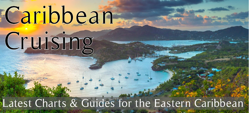
Getting away and island hopping the Caribbean is a necessity in 2024. Bluewater Books & Charts prides itself on providing mariners with the latest and most useful cruising and navigation information. We have compiled a list of our most recommended charts, guides, and flags for the Caribbean.
GUIDES
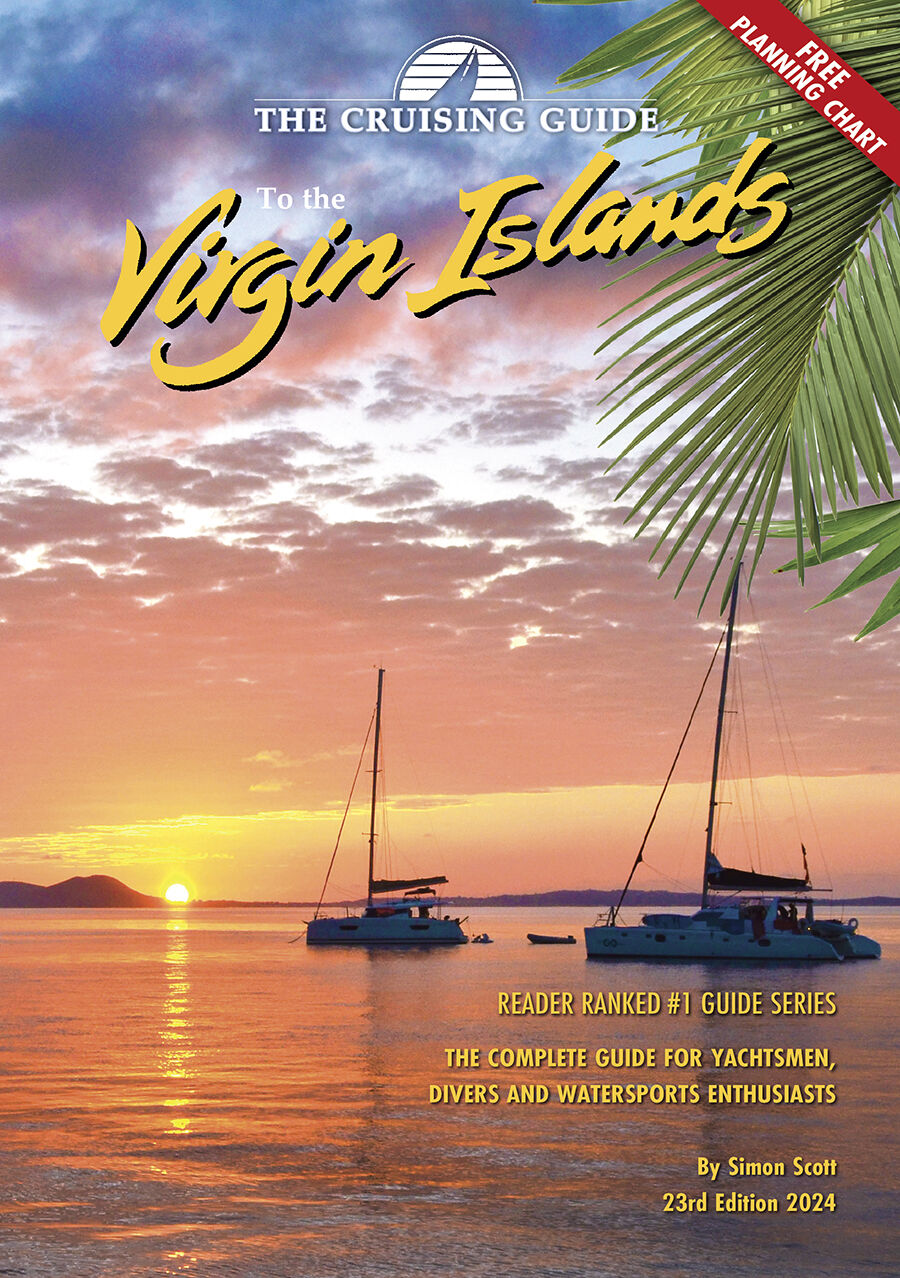 1. Cruising Guide to the Virgin Islands 2024/2025
This edition is filled with detailed charts of the various anchorages, supported with colorful aerial photography in addition to piloting, anchoring and shoreside information. The Island Connections sections provide valuable telephone, email and website information to make finding island businesses, services and restaurants effortless. Additionally, the guide includes a free, fold-out color 27” x 17” planning chart covering the British and U.S. Virgin Islands.
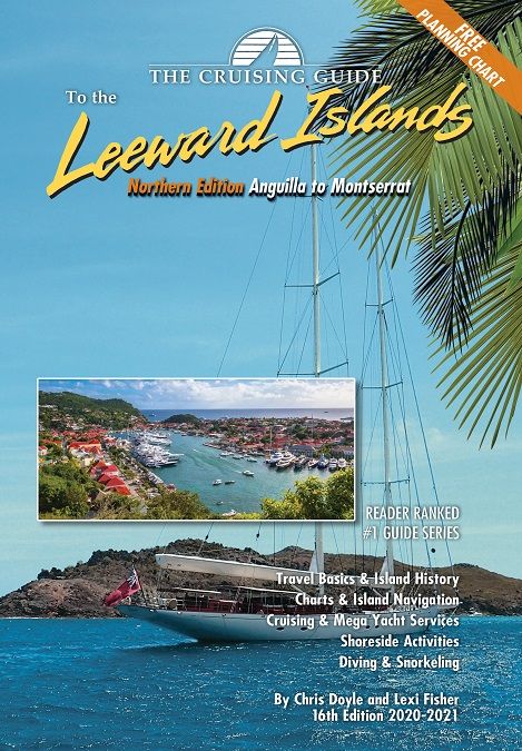
2. Cruising Guide Northern Leeward Islands 2021
This 16th edition (2020-2021) of The Cruising Guide to the Northern Leeward Islands covers the islands of Anguilla, St. Martin & Sint Maarten, St. Barts, Saba, Statia, St. Kitts, Nevis, Redonda, and Montserrat. These guides are an essential tool for all cruisers sailing this region. The authors spend months sailing these islands to update each edition.
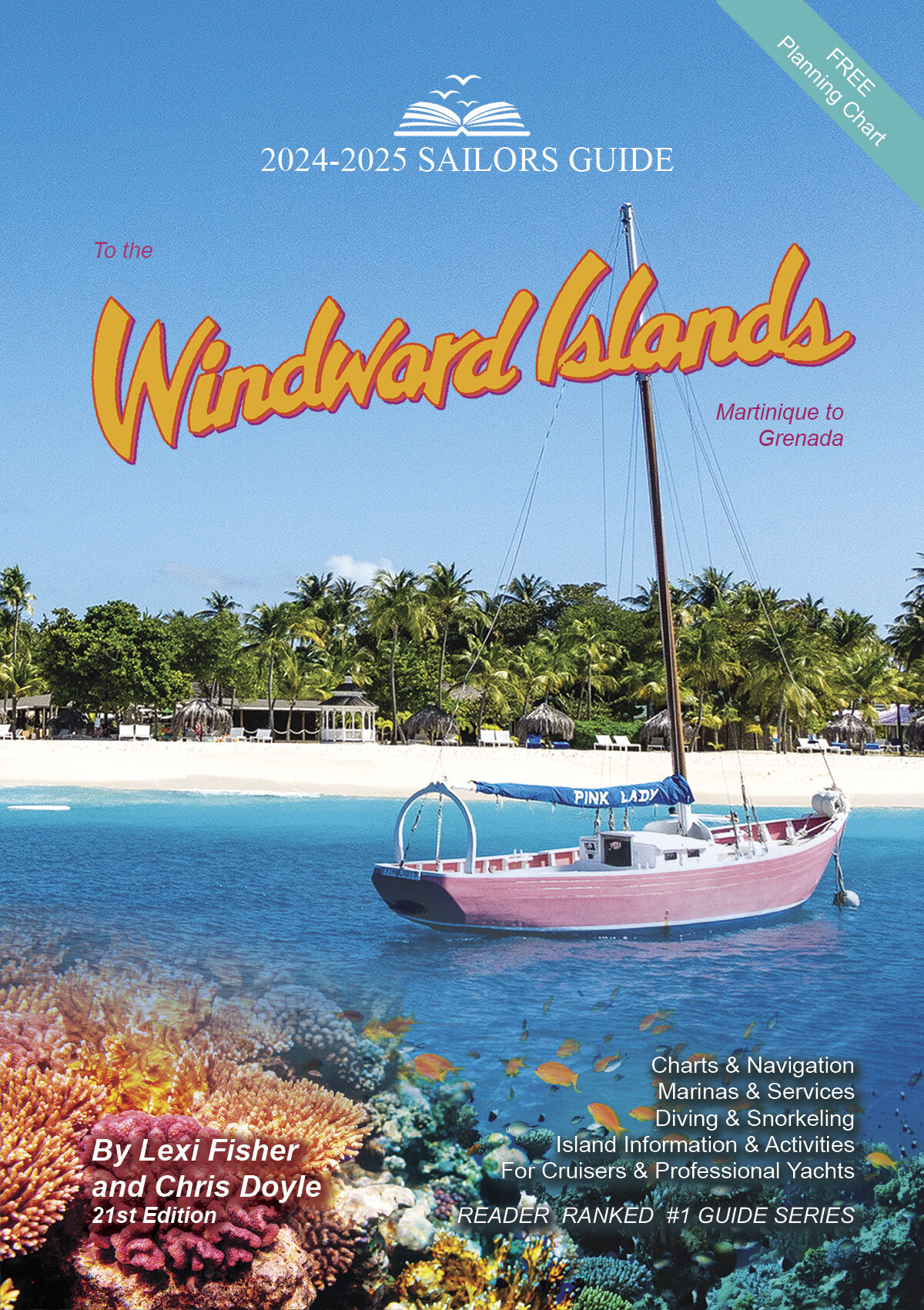 3. Sailor's Guide Windward Islands 2024-2025
This guide picks up where The Cruising Guide to the Southern Leeward Islands ends and is revised and updated for 2024-2025. After 38 years in print, this book continues to be the best selling cruising guide to the Windward Islands. Features include: aerial color photos, full color sketch charts, GPS waypoints and some of the best local information available. A wide range of topics are covered in this 2024-2025 edition including the latest information on marinas, marine services, water sports, resorts and shore-side shopping, restaurants, area sights, regulations affecting the yachtsman and helpful navigational directions.

4.Cruising Guide Southern Leeward Islands 2024-2025 - Coming Soon
This 17th edition (2024-2025) of The Cruising Guide to the Southern Leeward Islands will cover the islands of Antigua, Barbuda, Guadeloupe, Marie Galante, the Saintes, and Dominica. Included are over one hundred up-to-date color sketch charts, full color aerial photos of most anchorages, island pictures, and detailed shoreside information covering services, restaurants, provisioning, travel basics and island history.
CHARTS
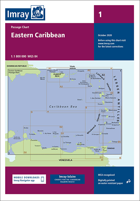 1.Imray Charts 1 Eastern Caribbean General
- • Dominican Republic to Trinidad
- • 1: 1,800,000 WGS 84
- • Printed and corrected to October 2022
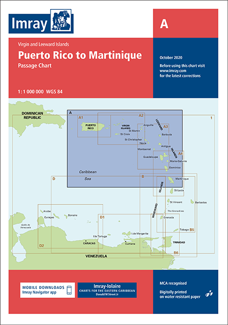 2.Imray Charts A Puerto Rico To Martinique
- • Includes Virgin and Leeward Islands
- • 1: 1,000,000 WGS 84
- • Printed and corrected to October 2022
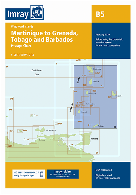 3.Imray Charts B5 Martinique To Tobago & Barbados
- • Includes Windward Islands
- • 1: 5,000,000 WGS 84
- • Printed and corrected to October 2023
Interested in something else or want to order digital charts for your plotter? Call 954-763-6533 or email [email protected].
Happy Cruising!
James Henjum
Content Writer
Related Products
-
 Seaworthy Northwest Caribbean Cruising Guide 2nd EditionSpecial Price $59.95 Regular Price $74.93
 -
Seaworthy Virgin Islands Cruising Guide 2nd EditionSpecial Price $54.95 Regular Price $69.93


Recent Posts